
INDUSTRIES
Unmanned platforms (UAVs, UGVs, SUVs) open new opportunities and generate efficiencies in industries such as mining, seaports, oil & gas and other large industrial facilities. They have emerged as incredibly powerful, versatile industrial tools capable of completing a wide range of applications. Industry professionals are increasingly using Unmanned platforms to improve and optimize industrial processes as well as enhance operational efficiencies.
Aerial Mapping
Mapping drones are revolutionizing the way land surveyors and construction professionals use aerial technology, enabling huge time and money savings over traditional methods.GeoSUP. drone and data solutions automatically generate advanced analytics such as orthomosaics, map creation, digital surface models (DSMs), 3D point clouds and more. Drone data can instantly be used for taking measurements, volume or stock pile calculations, emergency damage mapping.
Agriculture & Forestry
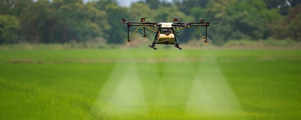
Each crop season is different to the previous one. All players in the agriculture sector are looking for reliable solutions for efficiently observing and characterizing crops so that they can make the right decisions based on the actual situations of fields and crops. At GeoSUP, we are convinced that prompt real-time delivery of reliable data on plant health status is essential for meeting these challenges.
Mines Mapping
The Mines & Quarries activity involves moving earth and profitability often depends on the ability of the operational team to optimize this task while reducing costs to a minimum. In order to do that, a prerequisite is to accurately determine the volume of ground to be moved. GeoSUP. UAVs are a fast and cost effective way of undertaking topographical surveys. They reduce human intervention on site, allow operations to continue during surveys, and yield engineering-grade measurements.
Power&Utilities
GeoSUP. drone and data solutions make infrastructure’s inspections faster, safer and more accurate. UAVs offer more effective inspection and surveillance services that cost a fraction of traditional methods such as helicopters or deploying an army of inspectors on foot. Our disruptive unmanned aerial imaging drones include a range of dedicated aerial imaging solutions for both infrastructure inspection and maintenance as well as site surveillance and security.
Cultural Heritage
GeoSUP. drone and data solutions make infrastructure’s inspections faster, safer and more accurate. UAVs offer more effective inspection and surveillance services that cost a fraction of traditional methods such as helicopters or deploying an army of inspectors on foot. Our disruptive unmanned aerial imaging drones include a range of dedicated aerial imaging solutions for both infrastructure inspection and maintenance as well as site surveillance and security.
Rescue Mission
GeoSUP. is reputed for emergency applications since the company operates its drones to enrich COPERNICUS, the European Union’s Earth surveillance program. The European Commission is equipping its COPERNICUS emergency management services until 2019 with fleets of GeoSUP.The program, undertaken in 2008, aims at collecting, selecting and streamlining environment observation data in order to anticipate, manage and help resolve natural and technological crises.