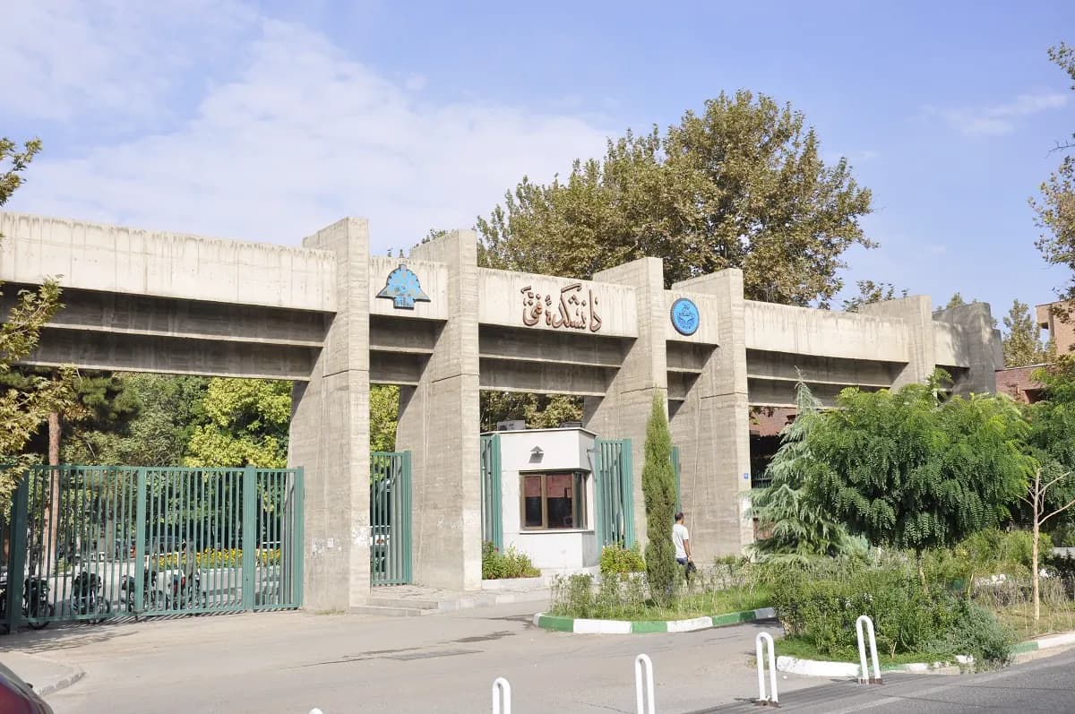
Innovative UAV Research at University of Tehran
Driving UAV Research for Smart, Data-Driven Industries
Driving UAV Research for Smart, Data-Driven Industries

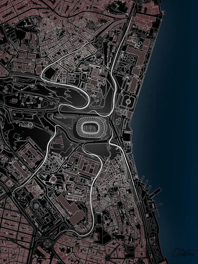
Enabling Smart Planning and Data-Driven City Management

Enabling Smart Planning and Data-Driven City Management

Professional Aerial Documentation with UAV Technology
We are a research-driven center at the intersection of UAV technology and AI, developing intelligent aerial solutions for industry and innovation. By combining engineering precision with advanced analytics, we create practical technologies that solve real-world challenges.
Contact usInnovation Driven
Smart geospatial technologies
Sustainable Impact
Data-driven decision making
Geospatial Excellence
Advanced mapping solutions
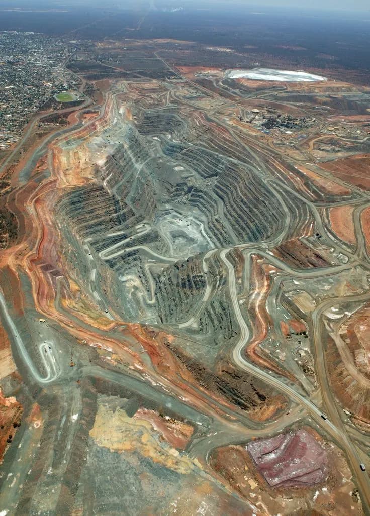
GeoSUP provides enterprise-grade UAV surveying solutions for modern mining and quarry operations, combining high-resolution orthomosaics, centimeter-accurate digital surface models (DSM), and advanced volumetric analysis to convert terrain data into actionable intelligence. Through precise stockpile measurement and continuous site monitoring, we help operations reduce risk, optimize earthmoving, and improve cost efficiency.

GeoSUP delivers advanced GIS surveying solutions using UAVs, LiDAR, and GPS technologies to capture high-precision spatial data, including locations, elevations, and terrain features. This data is processed and analyzed in GIS platforms to generate actionable maps, optimize resource management, and support informed environmental and infrastructure decisions.
GeoSUP harnesses mapping drones to transform land surveying and construction workflows, saving time and costs compared to traditional methods. Our UAV solutions enable precise, safe, and timely data capture, automatically generating orthomosaics, 3D point clouds, digital surface models (DSMs), maps, and advanced analytics. Drone-collected data can be immediately used for measurements, volume calculations, stockpile assessments, emergency mapping, and high-altitude or corridor surveys.
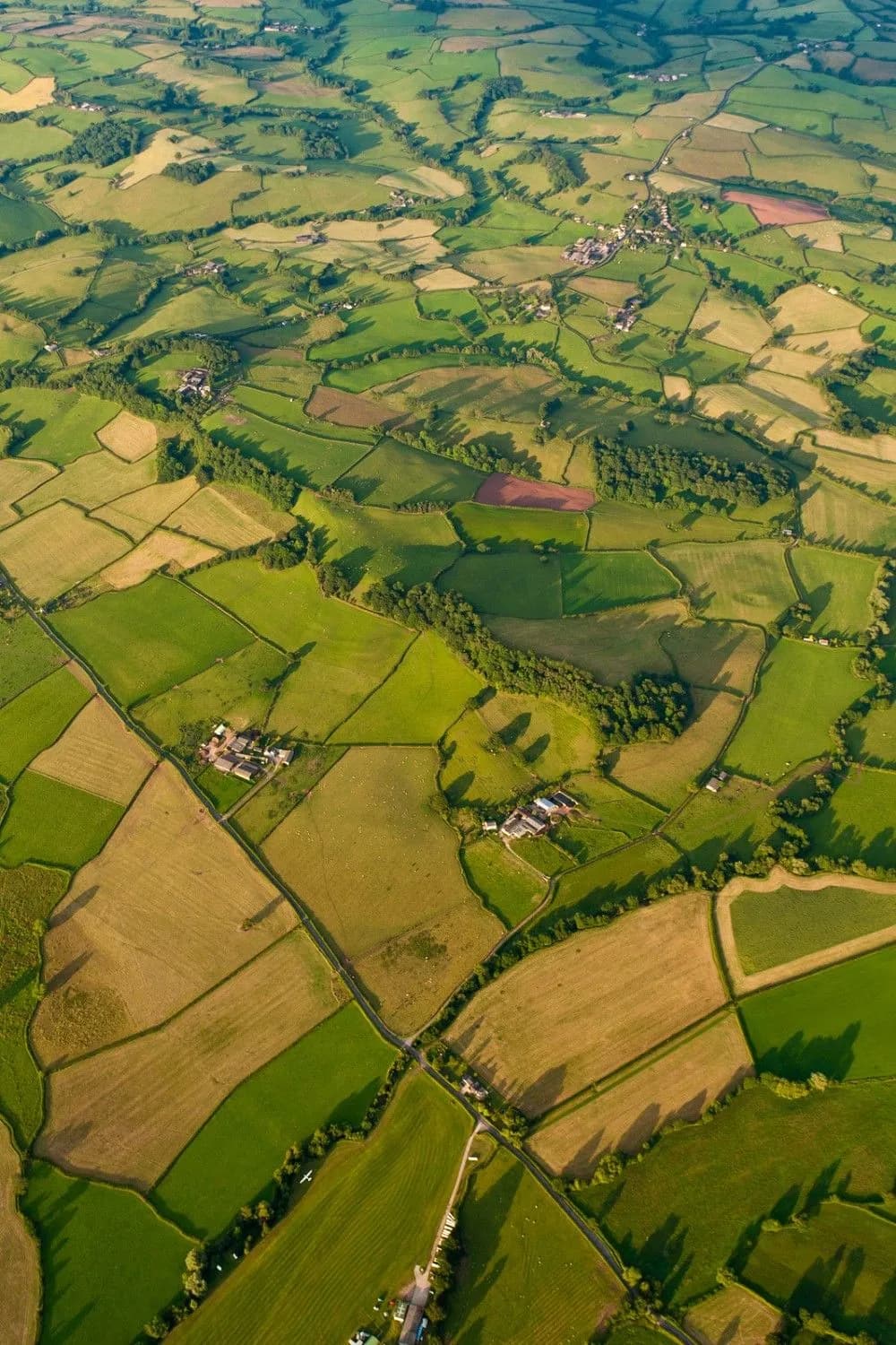
GeoSUP provides real-time, reliable crop monitoring solutions, enabling agricultural and forestry professionals to make informed decisions based on actual field conditions. Our drones, equipped with advanced sensors, cover thousands of hectares in a single flight and support the full data value chain—from aerial acquisition to tailored analysis. GeoSUP has already collaborated with key agro-industry players and research institutes, flying over forests, orchards, row crops, and vegetables worldwide to deliver actionable insights.
New Research
Explore our latest scientific publications and technical advancements in geospatial intelligence, UAV innovation, advanced mapping, and AI-driven spatial analytics.
Loading ...
We advance research that bridges science and technology, turning ideas into discoveries that impact society and industry.