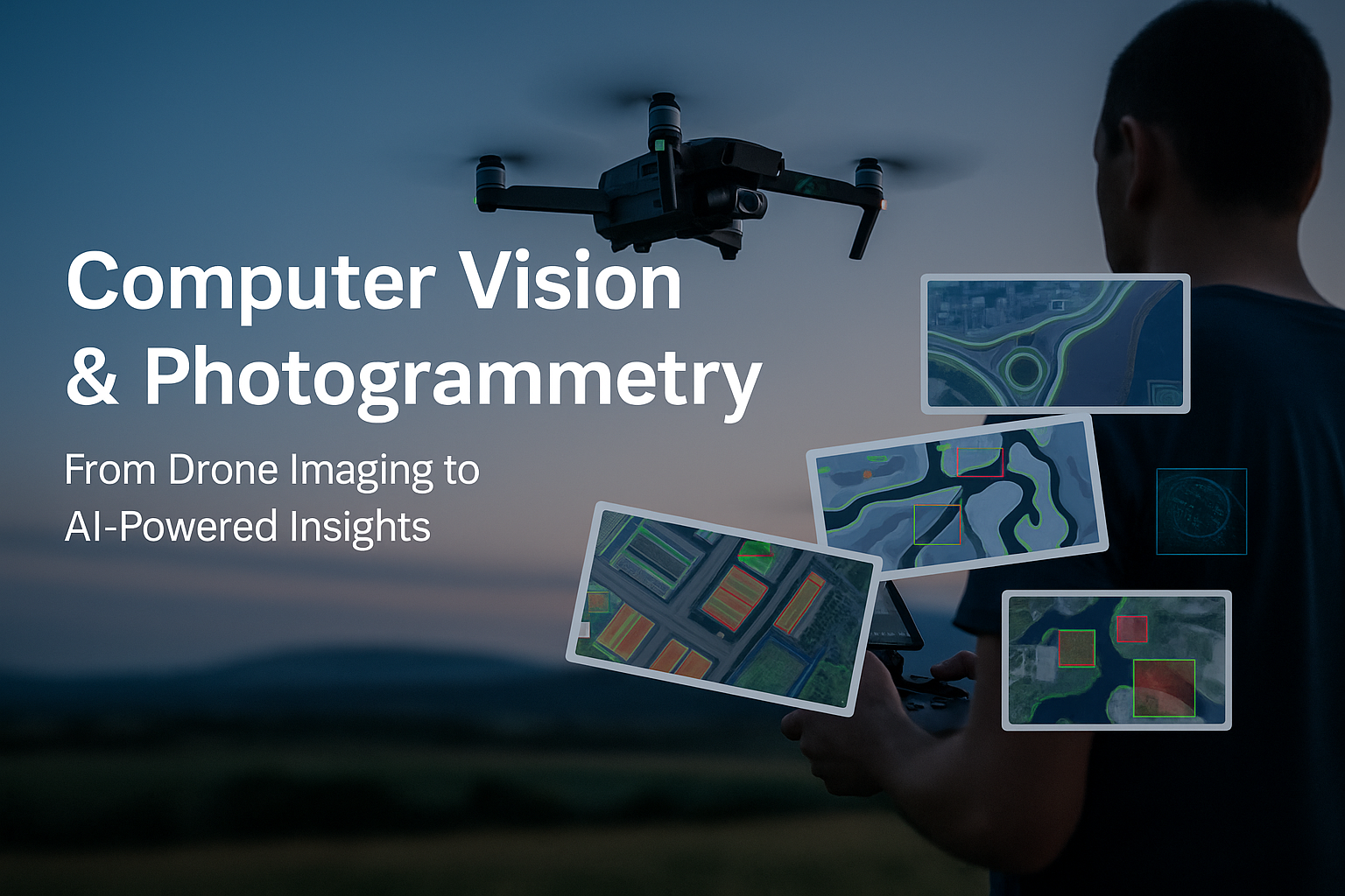
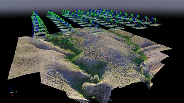
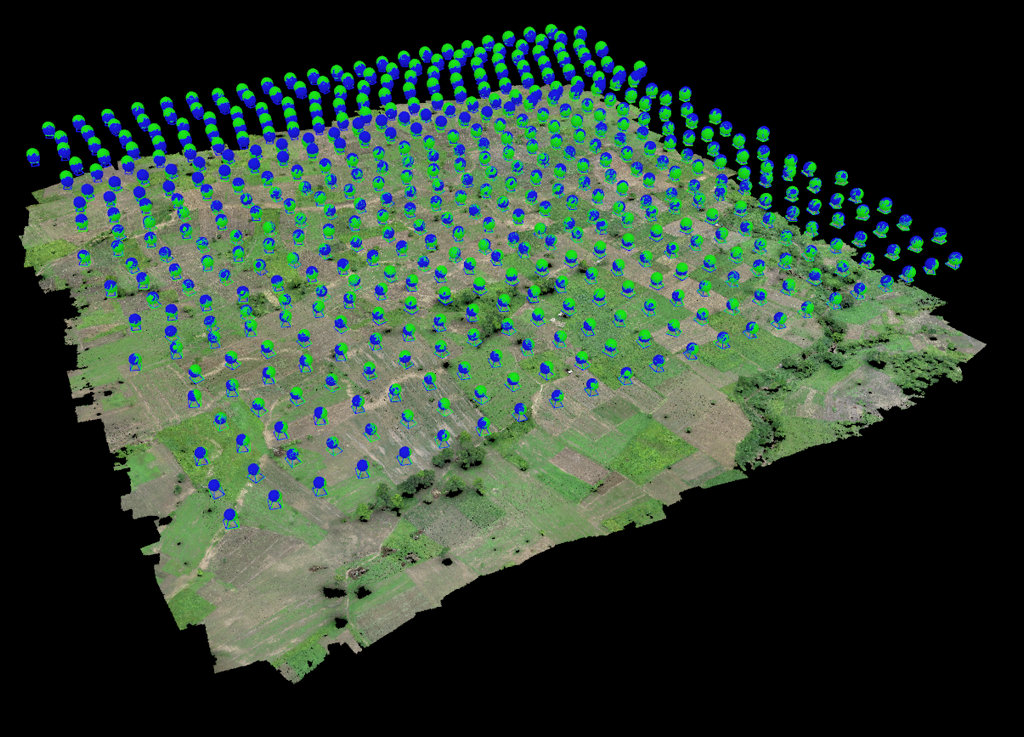
UAV image and video processing not only generates two- and three-dimensional models and maps, but when combined with Computer Vision algorithms, it enables the extraction of far more precise and intelligent information. This process allows the creation of digital models (DSM, DTM) that represent elevation, terrain, and surface details of photographed areas, and can be applied not only in mapping but also in flight simulations.
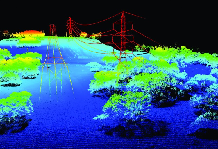
From drone imagery, a three-dimensional point cloud (3D Point Cloud) is produced, containing geographic information (X, Y, Z) and color. These data are further analyzed using machine vision and deep learning models to extract smart features such as pattern recognition, obstacle detection, land classification, and environmental change analysis.
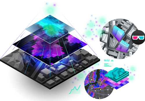
The integration of UAV mapping with Computer Vision facilitates the generation of advanced digital terrain models (DTM), digital surface models (DSM), orthomosaic maps, and 3D reconstructions. Moreover, this synergy empowers various industries—from precision agriculture to urban monitoring and infrastructure management—by providing access to actionable, AI-powered insights.
Advantages
Generate detailed maps
Provide output of 2D and 3D models
Create digital models of surfaces and terrain
Simulation of flight schedules
Detect and extract smart features
Point cloud enables efficient 3D data storage and processing
Point cloud models represent complex objects with fewer points
Point cloud boosts efficiency and lowers costs across industries
Point cloud is widely used with sufficient computing power
Point cloud applications are expanding as the technology evolves